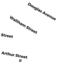
38 - 40 ROOSEVELT ST
Owner Information
MCGURN THOMAS & ELIZABETH
38-40 ROOSEVELT ST
MAYNARD, MA 01754


Property Details
38 - 40 ROOSEVELT ST is classified as a Two-Family Residential (Convnt-multi).
The primary structure on this property was built in 1917. There are 2,416ft2 of built area within this property. There is 2,416ft2 of residential/living space within this property. This property is listed as having 10 rooms. There are 2 units within this property.
38 - 40 ROOSEVELT ST is valued at $404,400. The land is valued at $210,200 and the structures are valued at $193,700. There is an additional valuation of $500 on this property.
This property is in Zone R1. Confirm with local Zoning Board authorities to ensure there are no overlays or other easements on this property.
The most recent deed for 38 - 40 ROOSEVELT ST is recorded at the local registrar in Book 21979, Page 165. 38 - 40 ROOSEVELT ST was last sold on Tuesday, April 28, 1992 for $160,000.
Assessment data from fiscal year 2022.
Flood Data
According to the FEMA National Flood Hazard Layer, this property does not appear to be in a flood zone. It may also be in an area not yet reviewed. Nonetheless, confirm this information prior to taking any action.
To view the flood hazards around this property, create a FEMA "Firmette" Map of the area around 38 - 40 ROOSEVELT ST.
Broadband Internet Providers
| Provider | Type | Bandwidth (mbps) | |
|---|---|---|---|
| Verizon New England Inc. | Fiber | 940 | 880 |
| Comcast | Cable | 1000 | 35 |
| GCI Communication Corp. | Satellite | 0 | 0 |
| Viasat Inc | Satellite | 100 | 3 |
| Verizon New England Inc. | DSL | 10 | 1 |
| HughesNet | Satellite | 25 | 3 |
| VSAT Systems, LLC. | Satellite | 2 | 1 |
Broadband service provider data from December 2020.
Adjacent Properties
- 35 ARTHUR ST
Single Family Residential owned by CARTER STEPHANIE B & - 42 - 44 ROOSEVELT ST
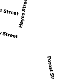
Two-Family Residential owned by FRENCH ERIC J & CHRISTINE A - 14 - 16 HAYES ST
Two-Family Residential owned by SMITH STEPHEN J & DEBORAH S - 10 - 12 HAYES ST
Two-Family Residential owned by TURANO FAMILY TR, PAUL TURANO - 27 - 29 ARTHUR ST
Two-Family Residential owned by WHARFF SHERYL A & CONRAY H JR