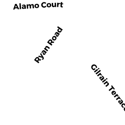
358 RYAN RD
Owner Information
REA ROBERT F & ANN H
358 RYAN RD
FLORENCE, MA 01062


Property Details
358 RYAN RD is classified as a Single Family Residential (1).
The primary structure on this property was built in 1900. There are 480ft2 of built area within this property. There is 1,720ft2 of residential/living space within this property. This property is listed as having 7 rooms.
358 RYAN RD is valued at $231,900. The land is valued at $110,600 and the structures are valued at $121,300. There is an additional valuation of $7,840 on this property.
358 RYAN RD was last sold on Friday, October 12, 2007 for $222,500.
Assessment data from fiscal year 2020.
Flood Data
According to the FEMA National Flood Hazard Layer, this property does not appear to be in a flood zone. It may also be in an area not yet reviewed. Nonetheless, confirm this information prior to taking any action.
To view the flood hazards around this property, create a FEMA "Firmette" Map of the area around 358 RYAN RD.
Broadband Internet Providers
| Provider | Type | Bandwidth (mbps) | |
|---|---|---|---|
| Verizon New England Inc. | DSL | 10 | 1 |
| GCI Communication Corp. | Satellite | 0 | 0 |
| HughesNet | Satellite | 25 | 3 |
| VSAT Systems, LLC. | Satellite | 2 | 1 |
| T-Mobile | Fixed Wireless | 25 | 3 |
| Comcast | Cable | 1000 | 35 |
| Viasat Inc | Satellite | 100 | 3 |
Broadband service provider data from December 2020.
Adjacent Properties
- 15 GILRAIN TERR
Single Family Residential owned by HOLDEN CHRISTIANE - 23 GILRAIN TERR
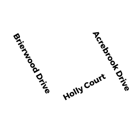
Single Family Residential owned by KOWALSKI PAUL E & BARBARA K - 14 ACREBROOK DR
Single Family Residential owned by SIAS ALICE L - 372 RYAN RD
Single Family Residential owned by EXEMPT - 7 GILRAIN TERR
Single Family Residential owned by GRANDA LUIS C & KERI F GRANDA &