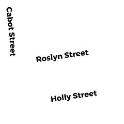
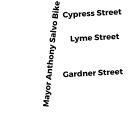
4 HOLLY STREET
Owner Information
RODRIGUEZ ELVIN
4 HOLLY ST
SALEM, MA 01970


Property Details
4 HOLLY STREET is classified as a Three-Family Residential (3 family).
The primary structure on this property was built in 1914. There are 2,985ft2 of built area within this property. There is 2,985ft2 of residential/living space within this property. This property is listed as having 13 rooms. There are 3 units within this property.
4 HOLLY STREET is valued at $486,800. The land is valued at $141,000 and the structures are valued at $345,800.
This property is in Zone R2. Confirm with local Zoning Board authorities to ensure there are no overlays or other easements on this property.
The most recent deed for 4 HOLLY STREET is recorded at the local registrar in Book 28207, Page 303. 4 HOLLY STREET was last sold on Monday, December 22, 2008 for $0.
Assessment data from fiscal year 2022.
Flood Data
According to the FEMA National Flood Hazard Layer, this property does not appear to be in a flood zone. It may also be in an area not yet reviewed. Nonetheless, confirm this information prior to taking any action.
To view the flood hazards around this property, create a FEMA "Firmette" Map of the area around 4 HOLLY STREET.
Broadband Internet Providers
| Provider | Type | Bandwidth (mbps) | |
|---|---|---|---|
| Verizon New England Inc. | DSL | 15 | 1 |
| HughesNet | Satellite | 25 | 3 |
| Comcast | Cable | 1000 | 35 |
| GCI Communication Corp. | Satellite | 0 | 0 |
| T-Mobile | Fixed Wireless | 25 | 3 |
| VSAT Systems, LLC. | Satellite | 2 | 1 |
| Viasat Inc | Satellite | 100 | 3 |
Broadband service provider data from December 2020.
Adjacent Properties
- 6 HOLLY STREET
Apartments with Four to Eight Units owned by BOULTER KATE BEATRICE - 2 1/2 HOLLY STREET
Residential Condominium owned by RYAN JAYNE A - 2 1/2 HOLLY STREET
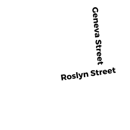
Residential Condominium owned by MARTINEAU NICOLE C - 9 ROSLYN STREET
Single Family Residential owned by KRAJEWSKI LYNETTE ELISE - 7 ROSLYN STREET
Residential Condominium owned by FRANGIE MARY T - 7 ROSLYN STREET
Residential Condominium owned by LEWIS NATHAN M - 11 ROSLYN STREET
Three-Family Residential owned by RUTHY, LLC