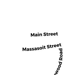
32 AFT MASSASOIT ST
Owner Information
BEAVER BROOK RLTY. TR.,
71 MASSASOIT STREET
WALTHAM, MA 02453-6045


Property Details
32 AFT MASSASOIT ST is classified as a Potentially Developable Residential Land.
32 AFT MASSASOIT ST is valued at $101,700. The land is valued at $101,700 and the structures are valued at $0.
The most recent deed for 32 AFT MASSASOIT ST is recorded at the local registrar in Book 34339, Page 31-32. 32 AFT MASSASOIT ST was last sold on Tuesday, December 18, 2001 for $40,000.
Assessment data from fiscal year 2022.
Flood Data
According to the FEMA National Flood Hazard Layer, this property does not appear to be in a flood zone. It may also be in an area not yet reviewed. Nonetheless, confirm this information prior to taking any action.
To view the flood hazards around this property, create a FEMA "Firmette" Map of the area around 32 AFT MASSASOIT ST.
Broadband Internet Providers
| Provider | Type | Bandwidth (mbps) | |
|---|---|---|---|
| VSAT Systems, LLC. | Satellite | 2 | 1 |
| Verizon New England Inc. | Fiber | 940 | 880 |
| RCN | Cable | 500 | 20 |
| RCN | Cable | 1000 | 20 |
| HughesNet | Satellite | 25 | 3 |
| Comcast | Cable | 1000 | 35 |
| GCI Communication Corp. | Satellite | 0 | 0 |
| Verizon New England Inc. | DSL | 7 | 0 |
| Viasat Inc | Satellite | 100 | 3 |
| T-Mobile | Fixed Wireless | 25 | 3 |
Broadband service provider data from December 2020.
Adjacent Properties
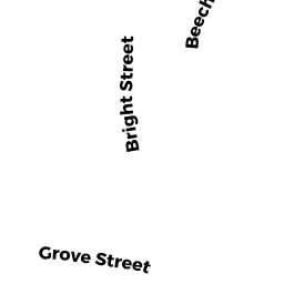
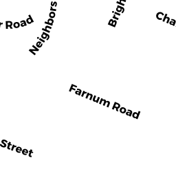
- 5 BRIGHT ST
Single Family Residential owned by NEETA H. MEHTA TRUST OF 2013; - 15 BRIGHT ST
Single Family Residential owned by MOY, ELIZABETH K. & - 11 BRIGHT ST
Single Family Residential owned by RYAN IRREV. TRUST - 88 BEF MASSASOIT ST
(formerly Municipalities/Districts. Removed June 2009.) owned by CITY OF WALTHAM - 88 MASSASOIT ST
Single Family Residential owned by ZANARDI, SOLVEY - 287 AFT GROVE ST
Potentially Developable Residential Land owned by CITY OF WALTHAM